Walk Offa's Dyke Path from Sedbury Cliffs to Prestatyn
A friend has invited you to do this with them.
Offa's Dyke Path follows the England–Wales border for 177 miles (285 km), from the Severn estuary to the Irish Sea, passing stretches of the dyke it is named after along with Iron Age hillforts. It crosses the Black Mountains at 2,300 ft (700 m), the Shropshire Hills and the Clwydian Range in about two weeks.
DemandingFreeA few weeksOutdoorsAlone or with othersWales, West Midlands, South West England
Christmas present ideas for someone who wants to walk Offa's Dyke Path from Sedbury Cliffs to Prestatyn
Presents that help someone get started, drawn from this page. They are ideas, not recommendations: we have not tested any of the products, so check sizes and details before you buy.
Kit to give
- Baseplate compassAmazon to navigate on the Hatterrall Ridge in low cloud
- Walking polesAmazon for the repeated climbs and descents in the Shropshire Hills
- GaitersAmazon to keep mud out of your boots on wet field paths
Or give your company
Some of the best presents cost little: offer to go along the first time. Print a promise card to put under the tree.
Some of these are affiliate links: if you buy or book through them we may earn a commission at no extra cost to you. Amazon links are searches, so compare what comes up.
More Christmas gift ideas for people who love doing things Stocking fillers
What it's really like
GOV.UK gives the length as 177 miles (285 km), starting at Sedbury Cliffs near Chepstow and finishing on the coast at Prestatyn. It is open all year and takes about two weeks. On the way it passes through three National Landscapes (protected countryside areas), the Wye Valley, the Shropshire Hills and the Clwydian Range and Dee Valley, as well as the Bannau Brycheiniog (Brecon Beacons) National Park.
The high point comes early. Between Pandy and Hay-on-Wye the trail climbs onto the Hatterrall Ridge, which straddles the border, and reaches 2,300 ft (700 m) on a ridge walk of about 11 miles towards Hay Bluff. Further north, GOV.UK calls Knighton to Brompton Crossroads possibly the toughest day, with many climbs, few villages and the Shropshire Hills. Buttington Bridge to Llanymynech is almost entirely flat. In the far north the route climbs Moel Famau in the Clwydian Range.
The halfway marker stands near Newcastle on Clun. Many stiles have been removed, and signposts with the acorn symbol show the route in both directions. Between Chirk Mill and Llandegla a summer-only route goes through Chirk Castle, with an alternative over the Pontcysyllte Aqueduct.
Sections and ways to walk it
| Option | Distance or length | Cost (as last listed) |
|---|---|---|
| Independent, Sedbury Cliffs to Monmouth (first GOV.UK section) | 17.5 miles (28 km) | Free to walk |
| Independent, Pandy to Hay-on-Wye over the Hatterrall Ridge | 17.5 miles (28.2 km) | Free to walk |
| Contours self-guided, Chepstow to Prestatyn, 13 nights | 12 walking days, graded demanding to strenuous | From £1,582 per person |
| Contours self-guided, Chepstow to Prestatyn, 17 nights | 16 walking days, graded moderate to demanding | From £2,049 per person |
| Contours short break, Hay-on-Wye to Knighton (a dog-friendly version is listed) | 3 nights, 2 walking days | From £381 per person |
Contours says its holidays include accommodation, baggage transfer and a holiday pack, and gives the trail as 181 miles.
How to start
- Read the GOV.UK trail page and its 12 sections, and decide which direction to walk; it can be walked either way.
- Allow about two weeks, and plan a short day on either side of Knighton to Brompton Crossroads, which GOV.UK calls possibly the most challenging section.
- Buy the OS Explorer maps or download the GPX file from the National Trails website, and plan overnight stops; GOV.UK notes many walkers stop at Llanthony Priory or Longtown between Pandy and Hay-on-Wye.
Where to go
- GOV.UK, Offa's Dyke Path National Trail
- National Trails, Offa's Dyke Path information
- Contours Walking Holidays, Offa's Dyke Path
We opened these links on 20 November 2026 and found them to be what we say. Dates, places and prices are on the official page, where they stay up to date.
Plan this
Two ways to plan it.
Plan it yourself Free
The links you need to book it, get there, find somewhere to stay and eat, and see what else there is to do nearby. They are searches for you to run; nothing is saved.
Show the links
Plan it with dates
Pick a day, or a month, and we will set out how to get ready, step by step, with a date and a reason for each. The hard part of a day out is the timing: the right season, tickets and getting there. The plan watches the calendar for you.
Questions people ask
How long is Offa's Dyke Path?
GOV.UK gives 177 miles (285 km), from Sedbury Cliffs near Chepstow to Prestatyn.
How long does it take to walk Offa's Dyke Path?
GOV.UK says about two weeks for the full trail.
What is the hardest section of Offa's Dyke Path?
GOV.UK describes Knighton to Brompton Crossroads, through the Shropshire Hills, as possibly the most challenging. The highest point, 2,300 ft (700 m), is between Pandy and Hay-on-Wye.
Which way should you walk Offa's Dyke Path?
Either way. GOV.UK says the trail can be walked in both directions, and the signposts show the route both ways.
Where this comes from: GOV.UK, Offa's Dyke Path National Trail; National Trails, Offa's Dyke Path information; Contours Walking Holidays, Offa's Dyke Path. Opened 20 November 2026.
Read next

Dave and Judy Fox keep going back to Spain, one Camino route at a time
How a Colorado couple turned one 490-mile walk across Spain into a habit of returning for new Camino routes; why the Camino keeps getting busier; and how to train for walking day after day with a pack.
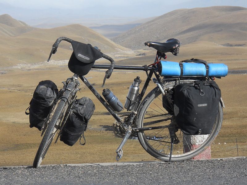
Bangkok to Bangkok the long way: Mark Herbst's 30,000 km ride for Jackie
How Mark Herbst, a cycling coach from Ontario, rode 30,000 km around the world in 324 days in memory of his wife, raised money for cancer research and took a Guinness World Record; and how to build towards a cycle tour of your own, from a first overnight trip to a fortnight on the road.
More like this
Demanding
Walk a National Trail from end to end
Demanding · Wales
Walk the Pembrokeshire Coast Path from St Dogmaels to Amroth
Demanding · North East England, North West England
Walk Hadrian's Wall Path
Moderate
Learn to navigate with a map and compass