Walk Hadrian's Wall Path
A friend has invited you to do this with them.
This 84-mile National Trail follows a Roman frontier across England from Wallsend, near Newcastle, to the Solway coast beyond Carlisle. Most walkers take six or seven days, and the high central section along the wall itself is one of the best day walks in the country.
DemandingOver £500 / $650A few weeksOutdoorsAlone or with othersNorth East England, North West EnglandMay to October
Someone who has done it
These are real people who did this, as reported by the outlets named. We opened each one before linking it. None of them is connected with this site.
What it's like
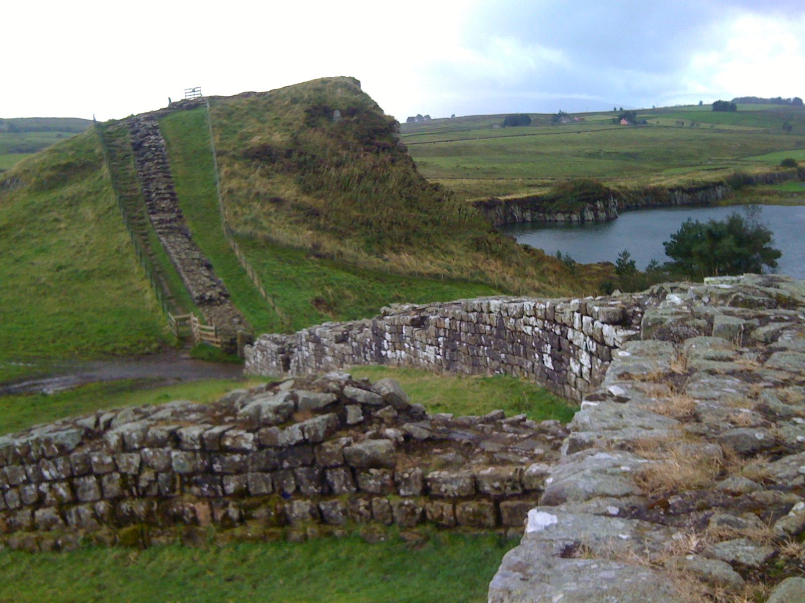
The path runs 84 miles (135 km) coast to coast across northern England beside Hadrian's Wall, a UNESCO World Heritage Site, through moorland and rolling fields. It starts at the Roman fort of Segedunum in Wallsend, near Newcastle, and ends at Bowness-on-Solway beyond Carlisle. The official guidebook describes it east to west, and the path is a little longer than the wall itself, which was 80 Roman miles long.
National Trails says anyone reasonably fit should manage it, but that it is not an easy walk. The 23 miles (37 km) between Chollerford and Birdoswald are a switchback of short climbs and descents, and the highest point, Windshields Crags, is 345 metres (1,131 feet). Most of the path is grass; only the Tyneside section is tarmac.
The six sections
| Section | What to expect |
|---|---|
| Wallsend to Heddon-on-the-Wall | Starts at Segedunum fort; the Tyneside stretch is the only part on tarmac |
| Heddon-on-the-Wall to Chollerford | Leaving Tyneside behind on the way to Chollerford |
| Chollerford to Steel Rigg | From Wall-mile 35 the classic switchback of the central section comes into view |
| Steel Rigg to Walton | Over Windshields Crags; from Walltown Crags you can see southern Scotland and the North Pennines |
| Walton to Carlisle | The last standing stretch of wall going west is at Hare Hill |
| Carlisle to Bowness-on-Solway | Two stretches at sea level flood at high tide; the last Passport stamp is at Bowness |
National Trails suggests experienced walkers allow six or seven days for the whole path, plus time for the Roman sites. A day on the central section, between Chollerford and Walton, is the classic taste of it.
When to go, and the Passport
Walk between May and October, when the ground is normally dry; late July and August are the busiest weeks. Walking on dry ground matters here because the path crosses buried archaeology.
For the same conservation reason, the Passport season runs from Easter to the end of October. You collect stamps at stations along the way, and at Bowness-on-Solway you can buy a badge and certificate. Passports are sold online and at places on the route, including Segedunum, The Sill and Walltown.
Getting there and where to stay
- The start at Wallsend is a ten-minute Metro ride from Newcastle station. The Tyne Valley railway between Newcastle and Carlisle stops at Corbridge, Hexham and Haltwhistle.
- The seasonal AD122 Hadrian's Wall bus is the main service along the wall; check Go North East for current times. Bowness-on-Solway has no car park, so use the 93 bus.
- Accommodation near the path fills up quickly. Book ahead, and start on a weekday if you can.
- There are plenty of campsites, but there is normally no right to wild camp, so ask the landowner first.
What to carry, and the tides
Take a map or guidebook (and consider a compass), good footwear, waterproofs, warm layers, water and plasters for your feet. Mobile signal is weakest in the high central section, so charge your phone fully and, if you walk alone, tell someone your plans.
Between Dykesfield and Drumburgh, and between Port Carlisle and Bowness-on-Solway, the path is at sea level and can flood. Avoid those stretches for an hour either side of high tide, using the Silloth tide tables or the notice boards at Dykesfield and Bowness.
How to start
- Read the National Trails page and choose between the whole path and a day on the central section.
- Plan for May to October, when the ground is drier and buses and accommodation are running.
- Allow extra time for the Roman forts and museums along the way.
Where to go
We opened this link on 2 November 2026 and found it to be what we say. Dates, places and prices are on the official page, where they stay up to date.
Plan this
Pick a day, or a month, and we will set out how to get ready, step by step, with a date and a reason for each. Projects run over months and stall without a rhythm, so the plan sets milestones you can see.
Questions people ask
How long does it take to walk Hadrian's Wall Path?
National Trails suggests experienced walkers allow six or seven days for the whole 84 miles (135 km), with extra time for the Roman forts and museums.
When is the best time to walk Hadrian's Wall?
May to October, when the ground is normally dry. Avoid late July and August if you want quieter paths.
Which direction should I walk Hadrian's Wall Path?
Either works, but the official guidebook describes it east to west, from Wallsend to Bowness-on-Solway.
Is Hadrian's Wall Path hard?
Anyone reasonably fit should manage it, but it is not easy. The central section between Chollerford and Birdoswald is a long run of short, steep ups and downs.
Can you wild camp on Hadrian's Wall Path?
Normally not without permission, as there is no right to wild camp. There are plenty of campsites along the way.
Where this comes from: National Trails, Hadrian's Wall Path trail information; National Trails, Hadrian's Wall Path route description. Opened 2 November 2026.
Read next
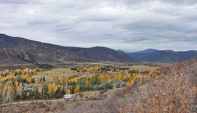
No one left behind on the Expresso trail: fifteen years of Tuesday rides with Girls Outside
How a group of women in Colorado's Roaring Fork Valley turned a Tuesday mountain bike ride into a 15-year habit: the motto, the tailgate and why the group keeps them riding. How to start mountain biking on easy graded trails, or ride harder terrain with a group if you already ride.
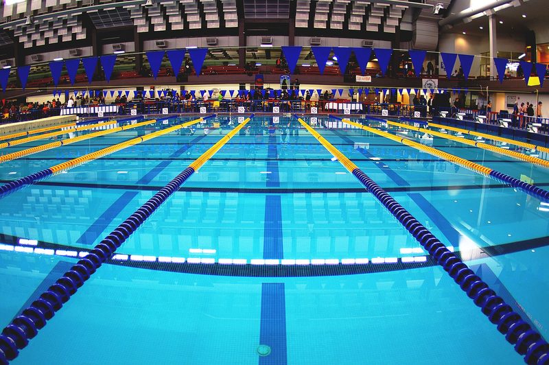
Watching a swimmer from an exercise bike led Sola Alegbe from a lifelong fear of water to teaching it
How a Londoner who nearly drowned as a child learned to swim at 48, left her job at Transport for London and qualified as a swimming teacher. What the first lesson is really like, and how to start if water frightens you, or go further if you already swim.
More like this
Demanding · North West England, Yorkshire and the Humber
Walk the Coast to Coast Path
Demanding · Scotland
Walk the West Highland Way
Demanding
Row a 2,000m test on a rowing machine
Demanding · Tanzania
Climb Kilimanjaro