Climb Ben Nevis
A friend has invited you to do this with them.
It is the highest mountain in the UK, and the Mountain Track takes you from the glen floor to the summit plateau on foot. Standing on top means there is nowhere higher to go in these islands.
DemandingUnder £100 / $130A few weeksOutdoorsAlone or with othersScotlandSummer for a first ascent
Someone who has done it
These are real people who did this, as reported by the outlets named. We opened each one before linking it. None of them is connected with this site.
What it's like
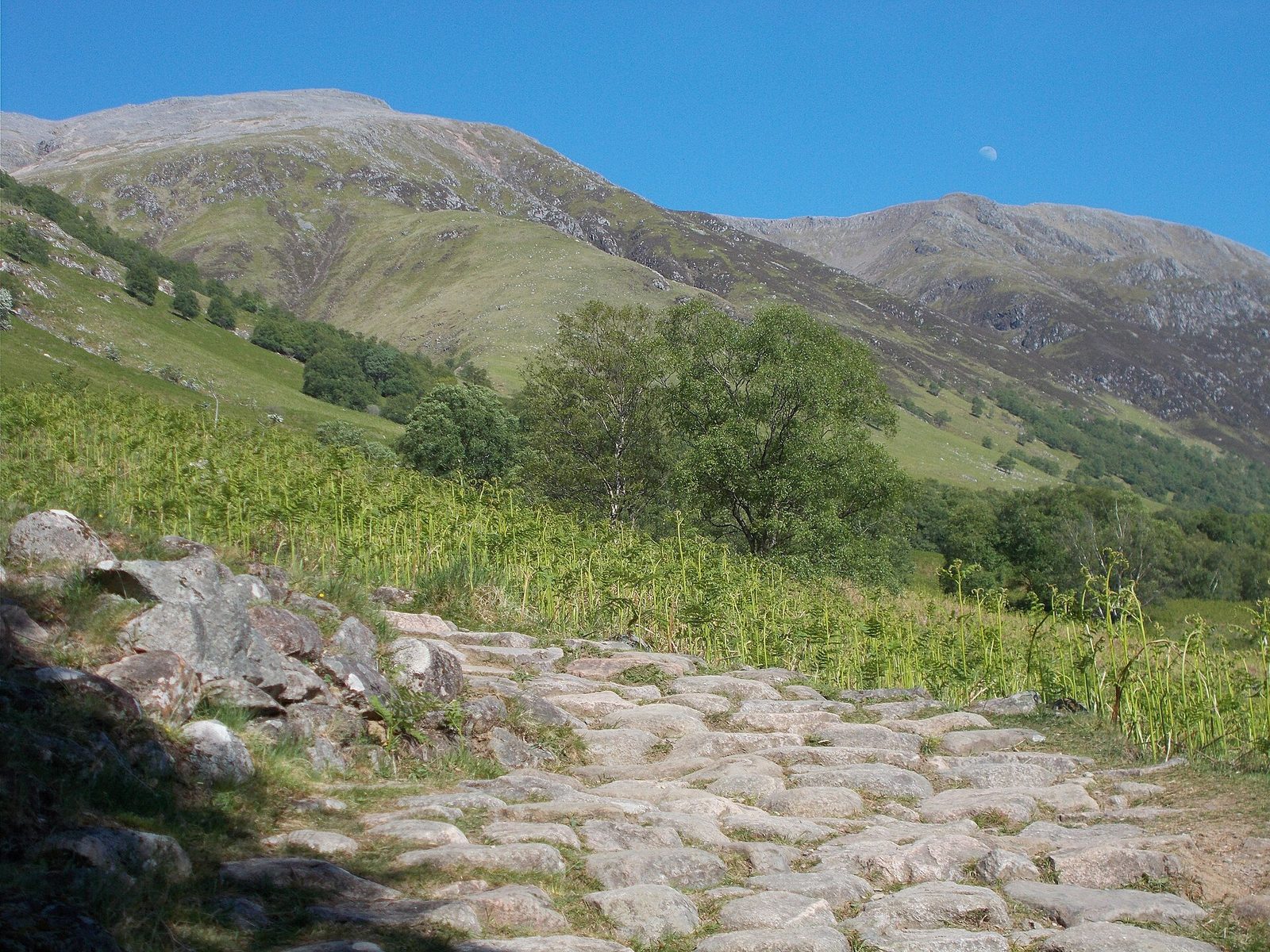
Ben Nevis is the highest mountain in Britain, 1,345 metres (about 4,413 feet) high, rising above Glen Nevis and Fort William. Most people climb it by the Mountain Path, the old pony track, which starts at the Glen Nevis visitor centre and crosses the River Nevis on a footbridge.
The Ramblers put the walk at roughly seven to eight hours there and back, with about 1,352 metres (4,436 feet) of climbing over 10.5 miles (17 km). The path is steep, rough and rocky all the way. It climbs to Lochan Meall an t-Suidhe, known as the Halfway Lochan, then zigzags up boulders and scree to a wide, stony summit plateau with a trig point and the ruins of a weather observatory and an old hotel.
The honest hard parts
The summit is usually in cloud, and it is around ten degrees colder than the glen before you count the wind. Snow often lies on the top into May or later. The British Mountaineering Council warns that a calm day in the glen can make people badly underestimate conditions on the summit, and that bad weather there can be as serious in summer as in winter.
The most dangerous part is the plateau in poor visibility. Two gullies cut into it close to the path, Gardyloo Gully on the north side and Five Finger Gully to the south-west, and several accidents have happened there. Five Finger Gully is easily mistaken for the way down. Coming off the top, stay on the zigzags and do not take a direct line down beside the Red Burn.
Routes compared
| Route | Starts from | Length or time | Who it suits |
|---|---|---|---|
| Mountain Path | Glen Nevis visitor centre | 10.5 miles (17 km) there and back, 7 to 8 hours | Fit and well-prepared walkers |
| Carn Mor Dearg Arete | The distillery or the golf club north of the mountain | 7 to 10 hours | Experienced scramblers only |
| Walk to the CIC Hut | North Face car park near Torlundy | 7 miles (11 km) there and back | Walkers who want to see the North Face without the summit |
| Glen Nevis and the Polldubh Falls | Upper Glen Nevis car park | 8-mile (13 km) loop | An easier day that avoids the summit |
The Carn Mor Dearg Arete is a very exposed ridge with far fewer people on it, and it becomes dangerous when icy. The CIC Hut, at 680 metres (2,231 feet), is the UK's only alpine-style mountain hut and looks straight up at the North Face. Other lines, such as the Ledge Route and the slabs above the Glen Nevis car park, are for experienced mountaineers only.
What to wear and carry
- Walking boots and proper mountain clothing, even if it is warm in Fort William.
- Waterproofs, and warm layers, hat and gloves for the summit.
- A waterproofed map and a compass, and the skill to use them on the plateau.
- A first aid kit, a torch, a whistle and a fully charged phone.
- Food and drink for the whole day.
Choosing your day
The Ramblers suggest a dry, clear day in late summer as the best time for a first ascent. Check the mountain forecast for wind, visibility and temperature on the summit, not the town, and decide in advance how you will come down. If you are less experienced, there are many mountain guides in Fort William. Winter ascents, with short days, snow and avalanche risk, are for experienced climbers with an ice axe and crampons and the skill to use them.
How to start
- Read Mountaineering Scotland's Ben Nevis guide and note the six to nine hours it suggests.
- Do two or three long hill days first, carrying the pack you plan to take.
- Check the mountain weather forecast and start early from the Glen Nevis visitor centre.
Where to go
We opened this link on 6 October 2026 and found it to be what we say. Dates, places and prices are on the official page, where they stay up to date.
Plan this
Pick a day, or a month, and we will set out how to get ready, step by step, with a date and a reason for each. The hard part of a day out is the timing: the right season, tickets and getting there. The plan watches the calendar for you.
Questions people ask
How long does it take to climb Ben Nevis?
By the Mountain Path from Glen Nevis, the Ramblers say roughly seven to eight hours there and back. Allow longer in poor weather or if you are not used to long hill days.
How high is Ben Nevis?
1,345 metres, or about 4,413 feet. It is the highest mountain in Britain.
What is the easiest way up Ben Nevis?
The Mountain Path (the old pony track) from the Glen Nevis visitor centre. It is the most used route, but it is still steep, rough and long.
Can a beginner climb Ben Nevis?
The Ramblers say the Mountain Path is only for fit, well-prepared walkers. Pick a dry, clear day, and if you are less experienced, consider one of the many mountain guides in Fort William.
Is there snow on Ben Nevis in summer?
Snow often lies on the summit into May or later, and the BMC notes it can lie on parts of the mountain all year.
Why is the summit of Ben Nevis dangerous?
It is usually in cloud and the plateau is flat, with Gardyloo Gully and Five Finger Gully close to the path. People who lose the path in mist can walk towards the gullies, so carry a map and compass and know how to use them.
Where this comes from: Ramblers, The best routes to walk up and near Ben Nevis; British Mountaineering Council, Mountains, Ben Nevis. Opened 27 October 2026.
Read next
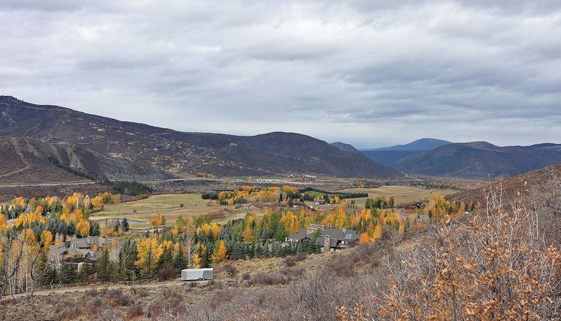
No one left behind on the Expresso trail: fifteen years of Tuesday rides with Girls Outside
How a group of women in Colorado's Roaring Fork Valley turned a Tuesday mountain bike ride into a 15-year habit: the motto, the tailgate and why the group keeps them riding. How to start mountain biking on easy graded trails, or ride harder terrain with a group if you already ride.
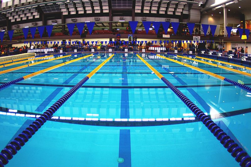
Watching a swimmer from an exercise bike led Sola Alegbe from a lifelong fear of water to teaching it
How a Londoner who nearly drowned as a child learned to swim at 48, left her job at Transport for London and qualified as a swimming teacher. What the first lesson is really like, and how to start if water frightens you, or go further if you already swim.
More like this
Demanding · Wales
Climb Yr Wyddfa (Snowdon)
Demanding · North West England
Climb Scafell Pike
Demanding · California
Hike to the top of Half Dome
Demanding · California
Hike to the summit of Mount Whitney