Hike below the rim of the Grand Canyon
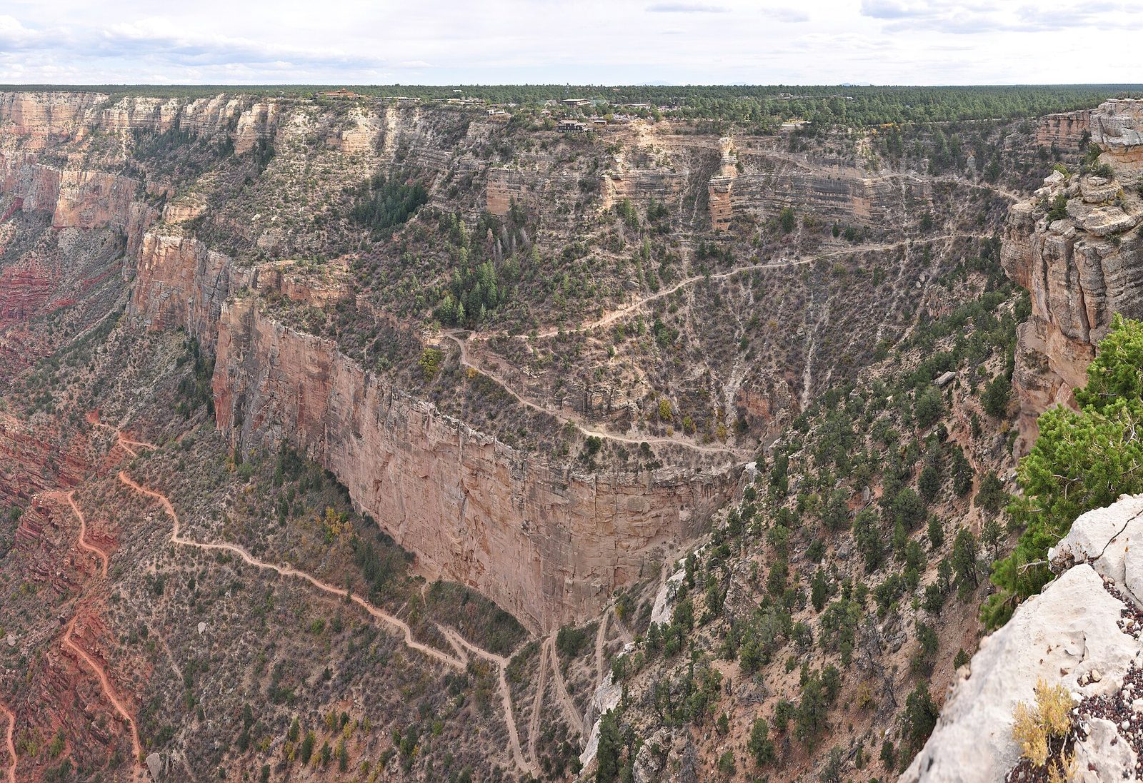
A friend has invited you to do this with them.
Most visitors look down from the rim, but a short way down the Bright Angel or South Kaibab Trail the canyon walls rise around you and the scale changes completely. It is a mountain walk in reverse, with the easy downhill first and the climb saved for the way back.
DemandingUnder £100 / $130An afternoonOutdoorsAlone or with othersArizonaSpring and autumn are kinder than summer heat or winter ice
Someone who has done it
These are real people who did this, as reported by the outlets named. We opened each one before linking it. None of them is connected with this site.
What it's like
"There are no easy trails into or out of the Grand Canyon," the National Park Service says. A day hike from the South Rim starts downhill, which feels easy, and ends with a long climb in the heat of the day. The Park Service tells hikers to plan for at least twice as long coming back up as going down.
The two main trails from the South Rim are the Bright Angel Trail, which starts just west of Bright Angel Lodge at 6,860 feet (2,093 metres), and the South Kaibab Trail, which starts south of Yaki Point at 7,260 feet (2,213 metres) and is reached by the park shuttle bus. More than 300 people are rescued from the canyon every year, so the most important choice is where you will turn round.
Where to turn round
| Turnaround | Trail | Round trip | Height below the rim |
|---|---|---|---|
| Mile-and-a-Half Resthouse | Bright Angel | About 3 miles (5 km) | 1,131 feet (345 m) |
| Three-Mile Resthouse | Bright Angel | About 6 miles (10 km) | 2,112 feet (644 m) |
| Havasupai Gardens | Bright Angel | 9 miles (14.5 km), 6 to 9 hours | About 3,000 feet (930 m) |
| Cedar Ridge | South Kaibab | 3 miles (4.8 km) | 1,140 feet (348 m) |
| Skeleton Point | South Kaibab | 6 miles (9.7 km) | 2,040 feet (622 m) |
The Park Service calls the South Kaibab the best views for a relatively short hike, but it is steep, with no water and little shade. It asks you to check with a ranger before trying Havasupai Gardens as a day hike, and says places below it are not recommended day hikes. Do not try to hike from the rim to the river and back in one day. On the North Rim, the North Kaibab Trail to Roaring Springs is 9.4 miles (15 km) there and back, 3,050 feet (930 metres) down, and takes seven to eight hours; start before 7 a.m.
Heat, water and food
In summer the temperature in the shade below the rim often passes 100°F (38°C), and the Park Service advises against hiking between 10 a.m. and 4 p.m. Spring and autumn are kinder; the upper parts of both trails can be icy from late autumn to early spring, when over-the-shoe traction devices are strongly recommended.
Water on the Bright Angel Trail is seasonal at the two resthouses and year-round at Havasupai Gardens, but pipeline breaks turn it off; in September 2026 all three were off. Carry all the water you need and check at the Visitor Center or Backcountry Information Center before you go. Too little water can lead to heat stroke, and drinking a lot of water without enough salt can cause hyponatremia, a dangerous drop in the body's salt, so eat salty snacks as you go. The Park Service says hikers can burn about twice their usual exercise calories on a summer canyon hike.
On the trail
- Mules use the trails. Step off on the uphill side, away from the edge, stay quiet and still, follow the wranglers' instructions, and wait until the last mule is 50 feet (15 metres) past.
- From July to September, monsoon lightning storms build quickly; take shelter at once.
- Tell someone your plan and when you expect to be back, and ask them to call 911 if you are overdue.
- The Park Service's list of what to carry includes a sun hat, sunscreen, water and a way to treat it, salty snacks, a trail map, a torch, a whistle, a first aid kit, an emergency blanket, a jacket and a phone.
How to start
- Read the National Park Service Day Hiking page for Grand Canyon and choose a trail and a turnaround point before you set off.
- Check water availability on the Bright Angel Trail at the Visitor Center or Backcountry Information Center.
- Start early, carry water and salty food, and turn round well before you feel tired.
Where to go
We opened this link on 7 October 2026 and found it to be what we say. Dates, places and prices are on the official page, where they stay up to date.
Plan this
Pick a day, or a month, and we will set out how to get ready, step by step, with a date and a reason for each. The hard part of a day out is the timing: the right season, tickets and getting there. The plan watches the calendar for you.
Questions people ask
Do I need a permit to hike into the Grand Canyon?
Not for a day hike that is not run commercially. Camping anywhere below the rim needs a backcountry permit.
Can you hike to the Colorado River and back in a day?
The National Park Service says not to try it, especially between May and September, when the heat can quickly become life-threatening.
How long does it take to hike back up the Grand Canyon?
Plan for at least twice as long as it took you to go down, the Park Service says.
Which Grand Canyon trail is best for a first day hike?
The South Kaibab to Cedar Ridge is 3 miles (4.8 km) there and back with big views, but no water and little shade. The Bright Angel to Mile-and-a-Half Resthouse is a similar length with some shade and seasonal water.
Is there water on the Bright Angel Trail?
Sometimes. It is seasonal at the resthouses and year-round at Havasupai Gardens, but pipeline breaks turn it off, so carry all you need and check before you go.
Where this comes from: National Park Service, Day Hiking, Grand Canyon National Park; National Park Service, Bright Angel Trail; National Park Service, Backcountry Trail Distances. Opened 3 November 2026.
Read next
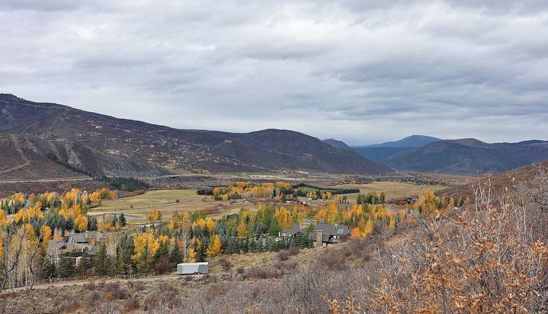
No one left behind on the Expresso trail: fifteen years of Tuesday rides with Girls Outside
How a group of women in Colorado's Roaring Fork Valley turned a Tuesday mountain bike ride into a 15-year habit: the motto, the tailgate and why the group keeps them riding. How to start mountain biking on easy graded trails, or ride harder terrain with a group if you already ride.
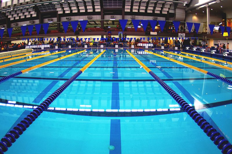
Watching a swimmer from an exercise bike led Sola Alegbe from a lifelong fear of water to teaching it
How a Londoner who nearly drowned as a child learned to swim at 48, left her job at Transport for London and qualified as a swimming teacher. What the first lesson is really like, and how to start if water frightens you, or go further if you already swim.
More like this
Demanding · Scotland
Climb Ben Nevis
Demanding · Wales
Climb Yr Wyddfa (Snowdon)
Demanding · North West England
Climb Scafell Pike
Demanding · California
Hike to the top of Half Dome