Walk the Yorkshire Three Peaks
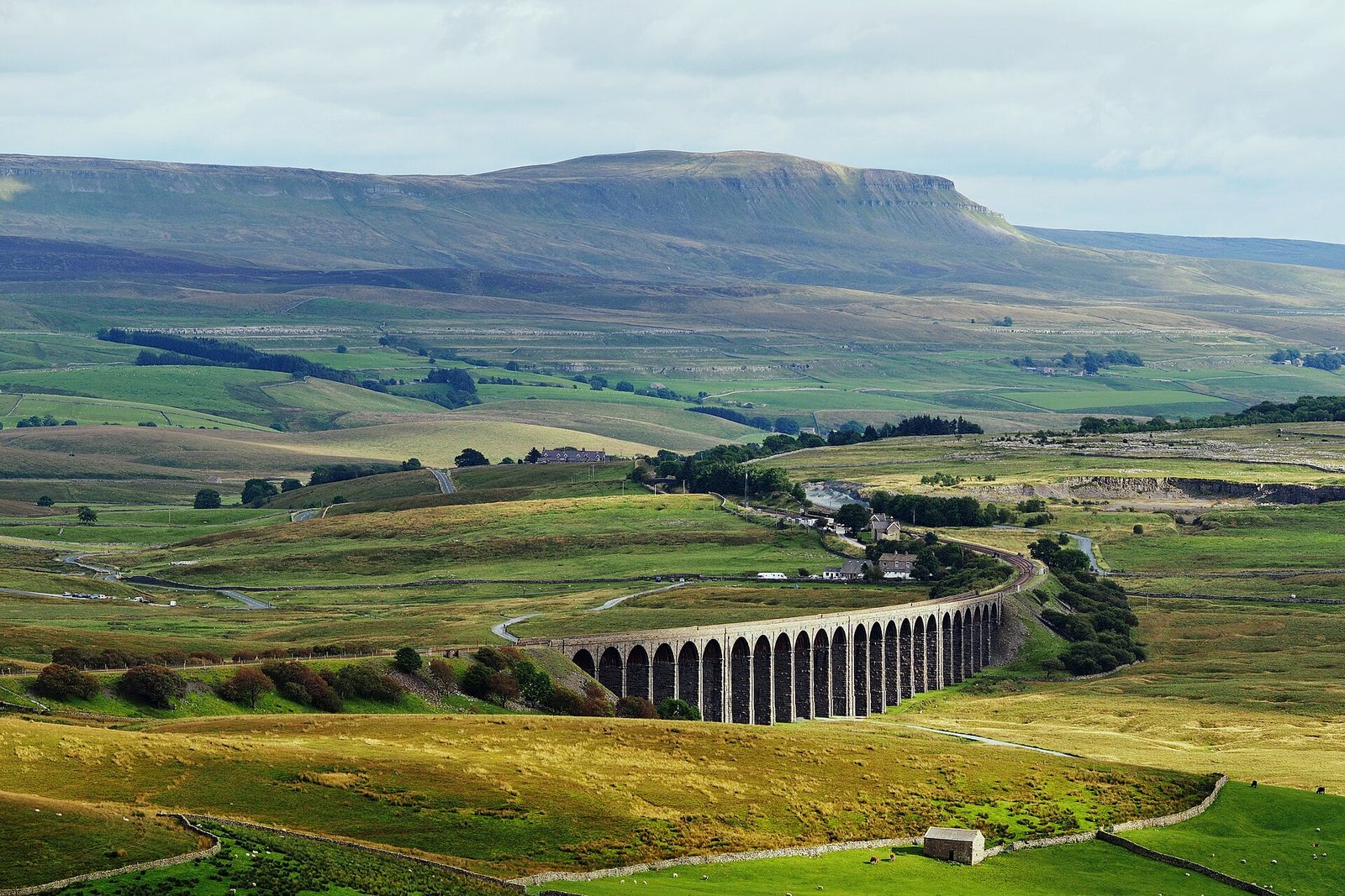
A friend has invited you to do this with them.
Pen-y-ghent, Whernside and Ingleborough are usually climbed in a single day on a 24-mile circuit with about 5,000 feet of ascent. The route follows public rights of way and open access land, so there is nothing to book and you can start anywhere on the loop.
DemandingUnder £100 / $130MonthsOutdoorsAlone or with othersYorkshire and the HumberSpring to early autumn
Someone who has done it
These are real people who did this, as reported by the outlets named. We opened each one before linking it. None of them is connected with this site.
What it's like
The Yorkshire Three Peaks are Pen-y-ghent, Whernside and Ingleborough, usually walked as one circular route in a single day. The Yorkshire Dales National Park Authority gives the circuit as 24 miles (38.6 km) with about 5,000 feet (1,600 metres) of climbing.
The traditional start is Horton-in-Ribblesdale, with Ribblehead the most popular alternative, but you can start anywhere on the loop and go either way round. The route uses public rights of way and open access land, so there is nothing to book and no permission or registration needed. It is signposted and waymarked, but the park says not to rely on that.
The honest hard parts
Twenty-four miles with three big climbs makes a long day. Conditions change quickly, temperatures drop sharply on the summits even on warm days, and the evening comes early outside high summer. The park recommends walking in daylight, usually between spring and late summer or early autumn.
Ingleborough's summit is a broad plateau where navigation is hard in cloud, and the park says many people leave it in the wrong direction each year. Mobile signal cannot be relied on, and there are no shops or bins on the route.
Build up one peak at a time
The park publishes a separate walk for each peak, which makes a natural way to train: each is a good day out on its own, and together they show you most of the circuit.
| Peak | Height | Single walk from | Distance |
|---|---|---|---|
| Pen-y-ghent | 694 m (about 2,277 ft) | Horton-in-Ribblesdale | 10 km (6 miles) circuit |
| Whernside | The highest point in Yorkshire | Ribblehead viaduct | 12.5 km (7.5 miles) |
| Ingleborough | 723 m (about 2,372 ft) | Clapham | 17 km (10 miles) |
Pen-y-ghent is many people's first peak, with good paths up Brackenbottom Scar and along the Pennine Way. All three starts have a station on the Settle to Carlisle line, so you can leave the car at home.
What to carry
- OS Explorer map OL2 (Yorkshire Dales, Southern and Western) and a compass, and the skill to use them.
- Broken-in boots, layers, waterproofs, a hat, gloves and spare warm clothing.
- Food and water for the whole day, as there are no shops on the hills.
- A whistle, first aid kit, torch with spare batteries, a charged phone and an emergency shelter.
- Sun protection, and walking poles if you use them.
Planning the day
Horton-in-Ribblesdale has the main car park, run by the National Park Authority, which fills quickly on spring and summer Saturdays; parking at Ribblehead is limited to the lay-bys. The only public toilets on the circuit are at Horton. Check the forecast, leave your route with someone, and if you are delayed but safe, let them know so Fell Rescue is not called out. Groups can tell the park about a walk for free and receive its walk guidelines.
How to start
- Read the Yorkshire Dales National Park Authority's Walking the Yorkshire Three Peaks page and download its route map or GPX file.
- Buy the OS Explorer OL2 map, learn to use it with a compass and walk each peak separately first.
- Choose a long summer day, check the forecast and leave your route plan with someone.
Where to go
We opened this link on 7 October 2026 and found it to be what we say. Dates, places and prices are on the official page, where they stay up to date.
Plan this
Pick a day, or a month, and we will set out how to get ready, step by step, with a date and a reason for each. The hard part of a day out is the timing: the right season, tickets and getting there. The plan watches the calendar for you.
Questions people ask
How long is the Yorkshire Three Peaks walk?
24 miles (38.6 km) with about 5,000 feet (1,600 metres) of climbing, according to the Yorkshire Dales National Park Authority.
Where do you start the Yorkshire Three Peaks?
The traditional start is Horton-in-Ribblesdale. Ribblehead is the most popular alternative, and you can start anywhere on the circuit in either direction.
Do I need to book or register to walk the Three Peaks?
No. It follows public rights of way and open access land. Organised groups can tell the National Park Authority about their walk, which is free.
Which is the hardest of the Yorkshire Three Peaks?
Each is hard in its own way. Whernside is the highest point in Yorkshire, and Ingleborough has the trickiest summit for navigation in cloud.
What map do I need for the Yorkshire Three Peaks?
OS Explorer OL2, Yorkshire Dales Southern and Western. The park also publishes a route description and GPX files.
Can I get to the Yorkshire Three Peaks by train?
Yes. Horton-in-Ribblesdale and Ribblehead are both stations on the Settle to Carlisle line, and both are on the circuit.
Where this comes from: Yorkshire Dales National Park Authority, Walking the Yorkshire Three Peaks; Yorkshire Dales National Park Authority, Want to walk just one of the Three Peaks?. Opened 27 October 2026.
Read next
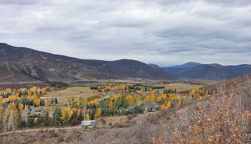
No one left behind on the Expresso trail: fifteen years of Tuesday rides with Girls Outside
How a group of women in Colorado's Roaring Fork Valley turned a Tuesday mountain bike ride into a 15-year habit: the motto, the tailgate and why the group keeps them riding. How to start mountain biking on easy graded trails, or ride harder terrain with a group if you already ride.
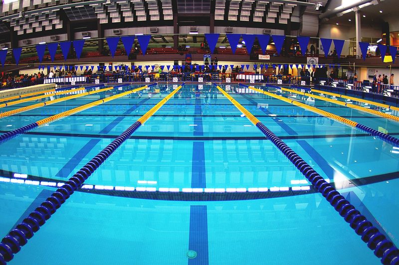
Watching a swimmer from an exercise bike led Sola Alegbe from a lifelong fear of water to teaching it
How a Londoner who nearly drowned as a child learned to swim at 48, left her job at Transport for London and qualified as a swimming teacher. What the first lesson is really like, and how to start if water frightens you, or go further if you already swim.
More like this
Demanding · Scotland
Climb Ben Nevis
Demanding · Wales
Climb Yr Wyddfa (Snowdon)
Demanding · North West England
Climb Scafell Pike
Demanding · California
Hike to the top of Half Dome